


The Role of Remote Sensing in Optimizing Water Distribution
Seeing More, Wasting Less: How Satellite and Drone Data Revolutionize Farm Irrigation

In modern agriculture, every drop of water counts. Optimizing water distribution is crucial for both crop productivity and environmental sustainability. Remote sensing technology, which collects information about the Earth's surface without direct contact, is becoming an invaluable tool for achieving precision irrigation on farms of all sizes.
What is Remote Sensing in Agriculture?
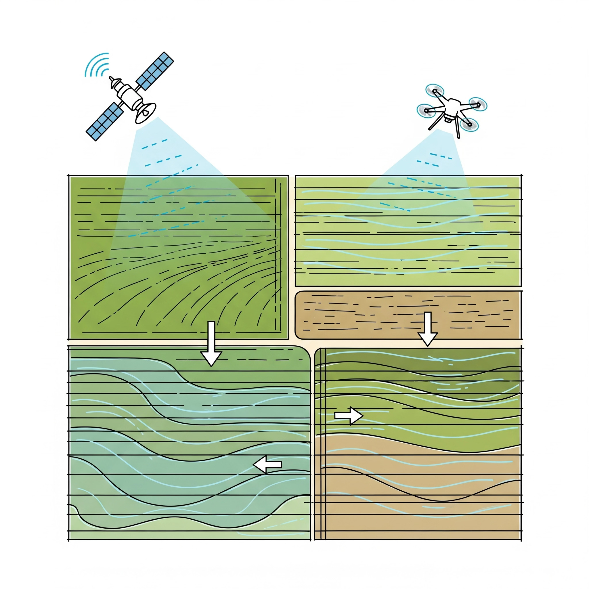
Remote sensing in agriculture involves using sensors on platforms like satellites, drones, or even aircraft to collect data about crops and soil.
These sensors capture different types of light (including those invisible to the human eye) that reflect off the plants and ground.
This data helps create detailed maps and insights into various aspects of the farm, including water status.
How Remote Sensing Optimizes Water Distribution:
Identifies Crop Water Stress: Remote sensing can detect subtle changes in plant health and temperature that indicate water stress, often before it's visible to the human eye. This allows farmers to water stressed areas proactively.
Maps Soil Moisture Variations: Different areas of a field can have varying soil types or topography, leading to uneven moisture levels. Remote sensing helps identify these wet and dry spots across the field.
Estimates Crop Evapotranspiration (ET): By analyzing plant canopy temperature and vegetation indices, remote sensing can estimate how much water crops are actually consuming (evapotranspiration). This is a direct measure of their water demand.
Creates Zone-Specific Irrigation Plans: Based on the detailed maps of water stress and soil moisture, farmers can divide their fields into different irrigation zones. Each zone receives precisely the amount of water it needs, rather than uniformly watering the entire field.
Monitors Irrigation System Performance: Remote sensing can show if an irrigation system is delivering water unevenly, helping farmers identify clogged nozzles, broken pipes, or pressure issues that need maintenance.
Guides Variable Rate Irrigation (VRI): For advanced irrigation systems like center pivots or lateral moves, remote sensing data can be fed directly into VRI controllers. This allows the system to automatically vary the amount of water applied across the field in real-time.
Assesses Impact of Rainfall: After a rain event, remote sensing can quickly assess how much of the rainfall was effective and absorbed by the soil, helping to adjust subsequent irrigation schedules.
Saves Water and Energy: By avoiding over-irrigation in some areas and under-irrigation in others, remote sensing leads to significant water savings and reduces the energy required for pumping water.
Practical Applications for Farmers:
Satellite Imagery Services: Many companies offer subscription services that provide regular satellite images and analysis of your fields, often delivered directly to a smartphone app or web portal.
Drone-Based Mapping: Drones equipped with specialized sensors can capture very high-resolution data for smaller or high-value fields, providing even more precise insights.
Integration with Farm Management Software: Remote sensing data can often be integrated with existing farm management platforms, centralizing information and decision-making.
Conclusion: A Clearer Vision for Sustainable Water Use
At Farmer's Chat, we believe that embracing advanced technology like remote sensing is pivotal for building a more resilient and sustainable agricultural future. It offers farmers an unprecedented ability to "see" their fields' water needs from a new perspective, transforming guesswork into data-driven precision. By optimizing water distribution, remote sensing not only conserves our most precious resource but also contributes to healthier crops, increased yields, and a stronger bottom line for farmers. As a non-profit initiative, we are dedicated to empowering farmers, the true backbone of civilization, with the knowledge and tools needed to adopt these innovative practices.
Step into the future of irrigation! Explore our learning resources for more insights into farm technology. Connect with us on social media platforms to share your experiences and learn from a community that's passionate about sustainable farming. Your engagement helps us continue our vital mission for the betterment of agriculture and the planet.
#RemoteSensing #PrecisionIrrigation #WaterManagement #SmartFarming #AgricultureTech #SatelliteImagery #DroneInAgriculture #SustainableAgriculture #WaterEfficiency #CropOptimization #FarmersChat #Farmers #Agriculture #VishalRajput